1. Various kinds of satellites
Various kinds of satellites can be developed according to customer requirements. 1U-6U microsatellites; Practical remote sensing satellite with 0.7m-1m resolution. At the same time, it also provides satellite measurement and control stations, satellite data processing methods and other complete sets of technologies.

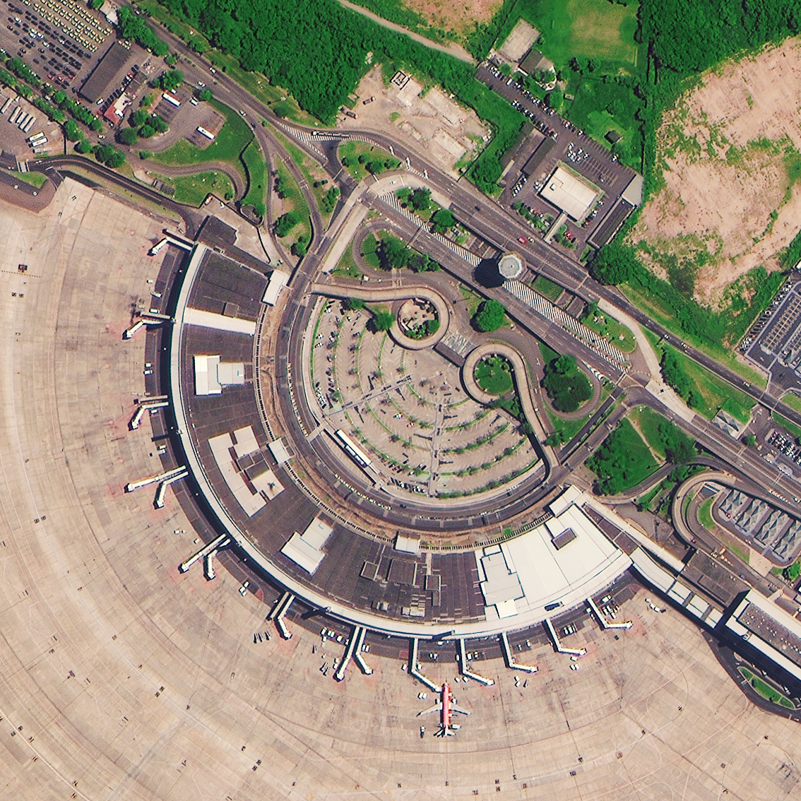
2. Remote sensing satellite data
We have business cooperation relations with several remote sensing satellites and can provide global visible optical, multispectral and SAR remote sensing images with various resolutions such as 0.5m, 0.8m, 1m and 2m.
3. Satellite TT&C Station
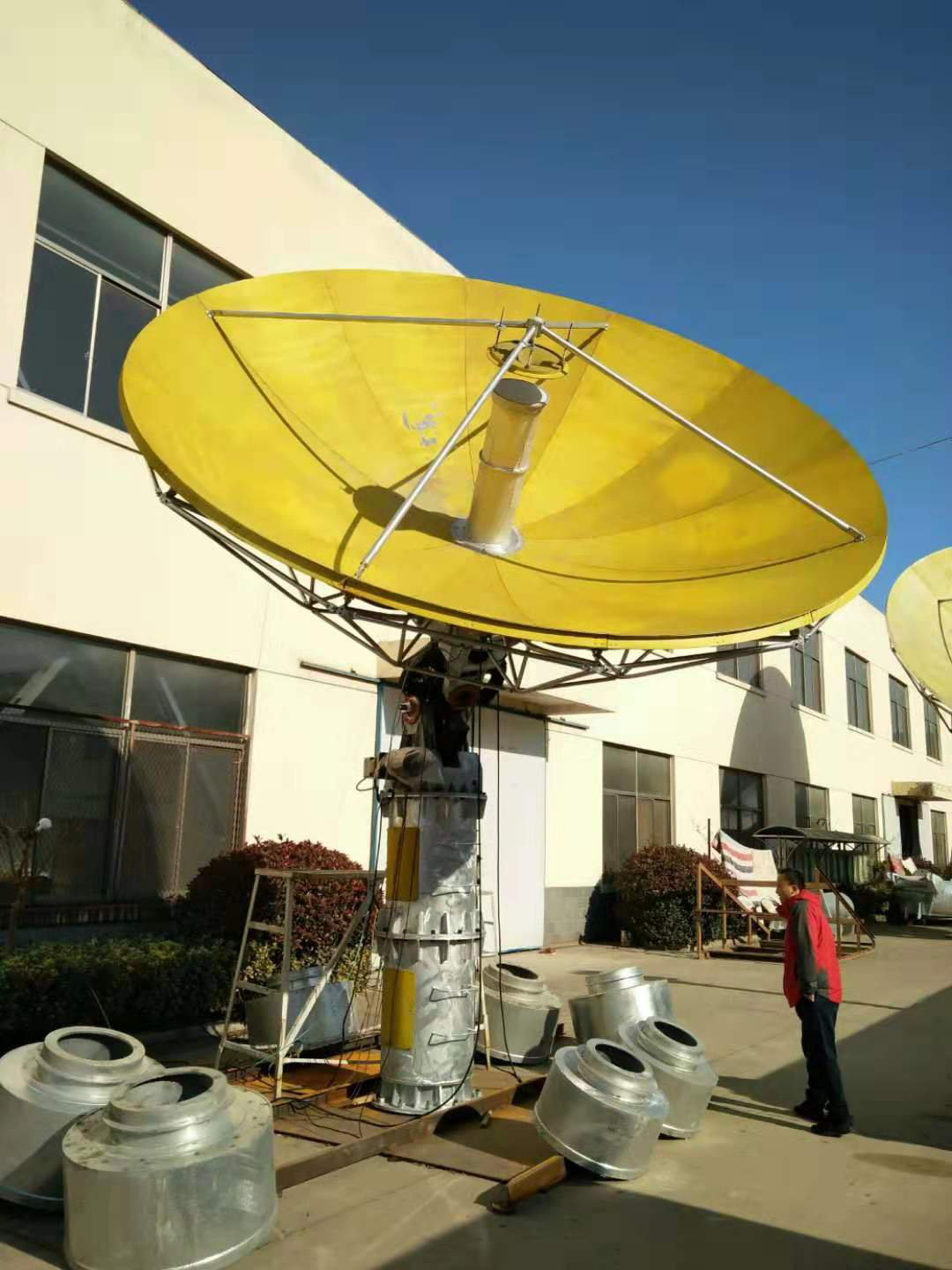
We provide a variety of satellite TT&C stations and their key subsystems.
UHF/VHF Satellite TT&C Station
4.5m-7.5m calibre L, S, C and X multiband satellite TT&C stations
4.5m-7.5m calibre L, S, C and X multiband satellite TT&C/data receiving stations
2.5m-7.3m aperture antenna
Measurement and Control/Data Transmission Baseband
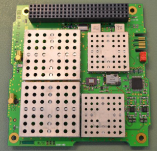
4. Spaceborne TT&C communication machine
We provide multi-band on-board communication machines for microsatellites. VHF/UHF band satellite communication machine X-band satellite communication machine
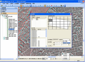
5. Professional software for measurement, transportation and control
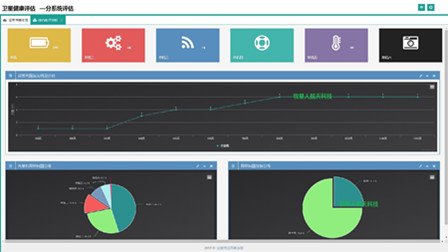
Provide comprehensive professional software for satellite survey, transportation and control Including satellite orbit determination software, satellite mission planning software, satellite health assessment software, constellation comprehensive management software, assessment software, measurement and control mission planning software, telemetry processing software, etc.
6. Remote Sensing Satellite Data Processing Software
Provide comprehensive remote sensing data processing software: image processing software, geographic information system software, all-digital photogrammetry system software, multispectral data processing software
